The Little Rock Roadrunners Club (LRRC) is a member of the Road Runners Clubs of America (RRCA). We serve a diverse community of runners through races, community runs, social events, training, and more! We also host the annual Capital City Classic 10K in downtown Little Rock. The 2024 event was held on March 30, 2024 and had over 1,000 participants!
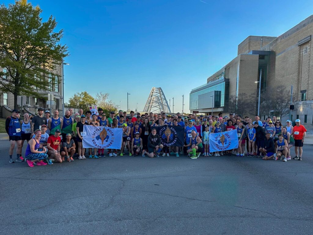
Team Picture before the 2024 Capital City Classic!
A list of races and events can be found on the Rock City Running race calendar.